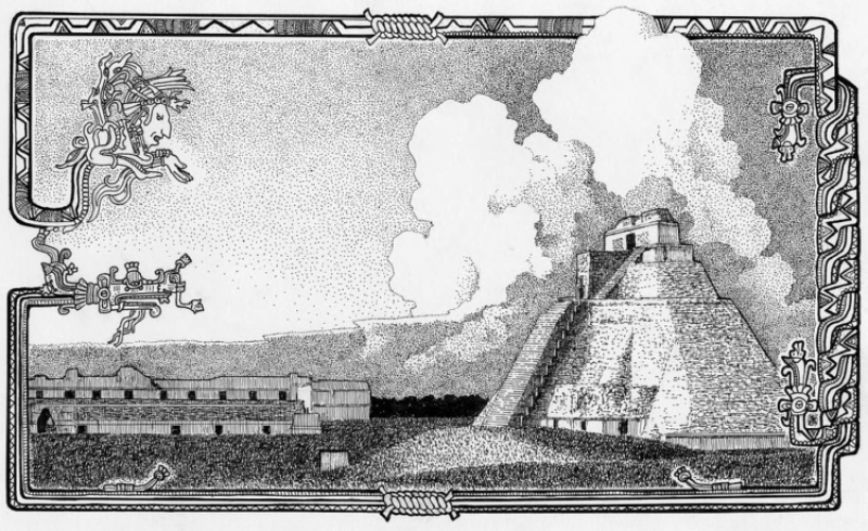
Nestled in the jungle of northern Guatemala, a vast network of interconnected Maya settlements built millennia ago has been mapped in unprecedented detail.
The civilization featured towering pyramids, palaces, terraces, ball courts and reservoirs connected by a sprawling web of causeways, an international group of archaeologists reported during a presentation at Francisco Marroquín University in Guatemala City [recently].
Their findings reveal a “level of infrastructure that is just mind-boggling,” said Dr. Timothy Beach, a professor of geography at the University of Texas at Austin who wasn’t involved in the research.
The archaeologists identified nearly 1,000 Maya settlements, which they said were mostly built between 1,000 B.C. and 150 A.D. The findings, also detailed in a paper published last month in the journal Ancient Mesoamerica, were made possible by airborne laser mapping technology that can penetrate the jungle canopy. They challenge some previously held ideas that this part of Mesoamerica, which archaeologists call the Maya lowlands, was sparsely populated during that period.
The lidar data, which took years to analyze, revealed the existence of previously unidentified canals, dams, terraces, quarries, causeways, temples and ceremonial complexes. The researchers also identified ball courts once used for competitive sports.